Technology
Ticket Delivery Options
TicketLINK
OTTO
Centerline Display

In cases where facility operators choose to display actual line location upon receipt of a ticket, OCC hosts the data in several map formats and provides secure, password-protected access to the operator providing the data. This enables member utilities to better evaluate worksites and patterns and gather information.
Custom Outbound Ticket Formats
Mapping Software
Poly-on-Poly
IMap

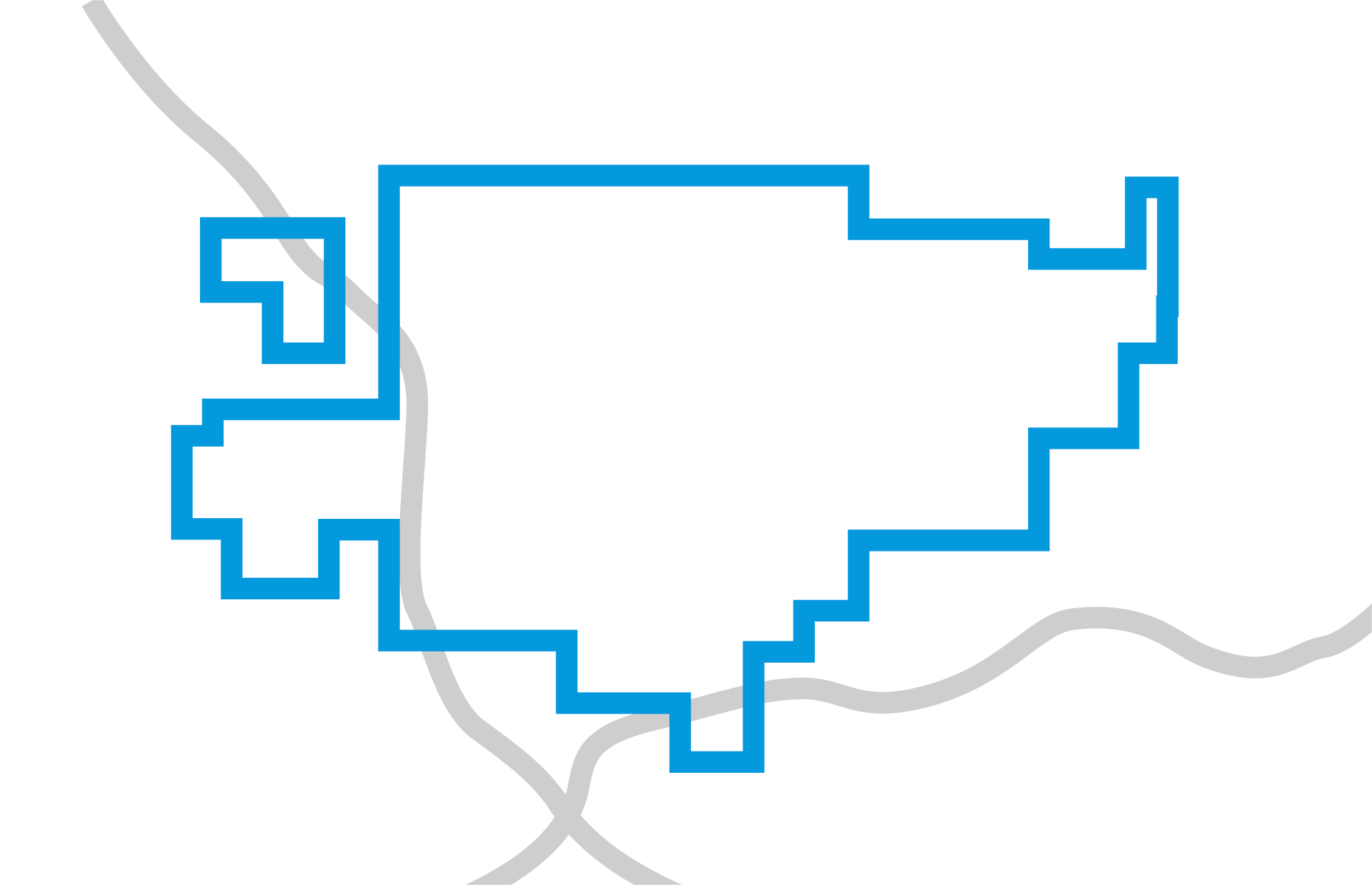
OCC’s online mapping application gives facility operators complete control in managing their databases. Submit digital data directly to the notification center—then view, add, modify or delete notification area polygons. A multi-tiered access system ensures that all changes are vetted before going into effect.


