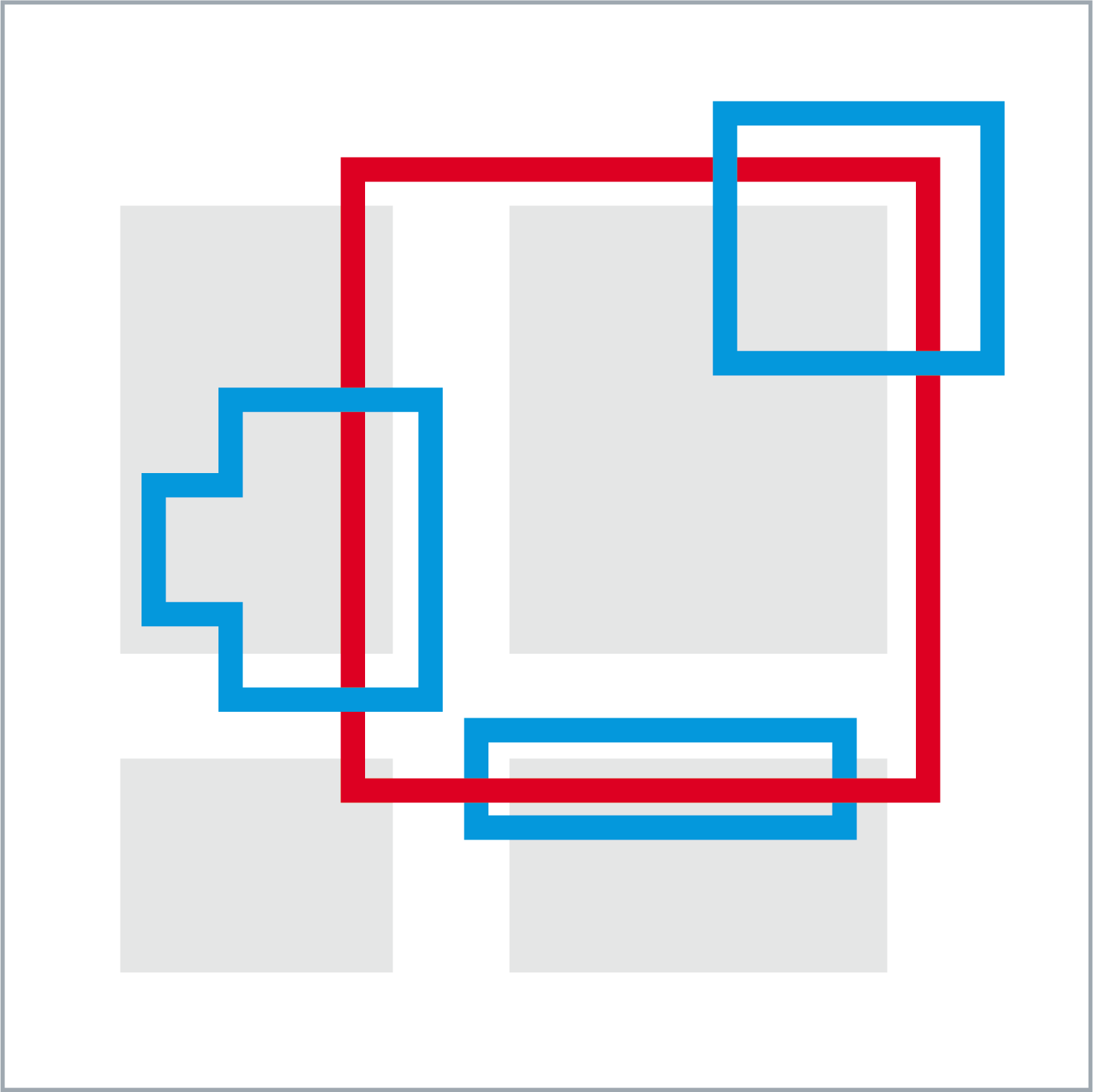
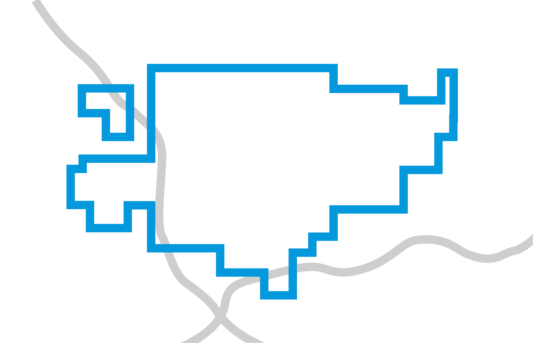
Database and Mapping

Mapping Software

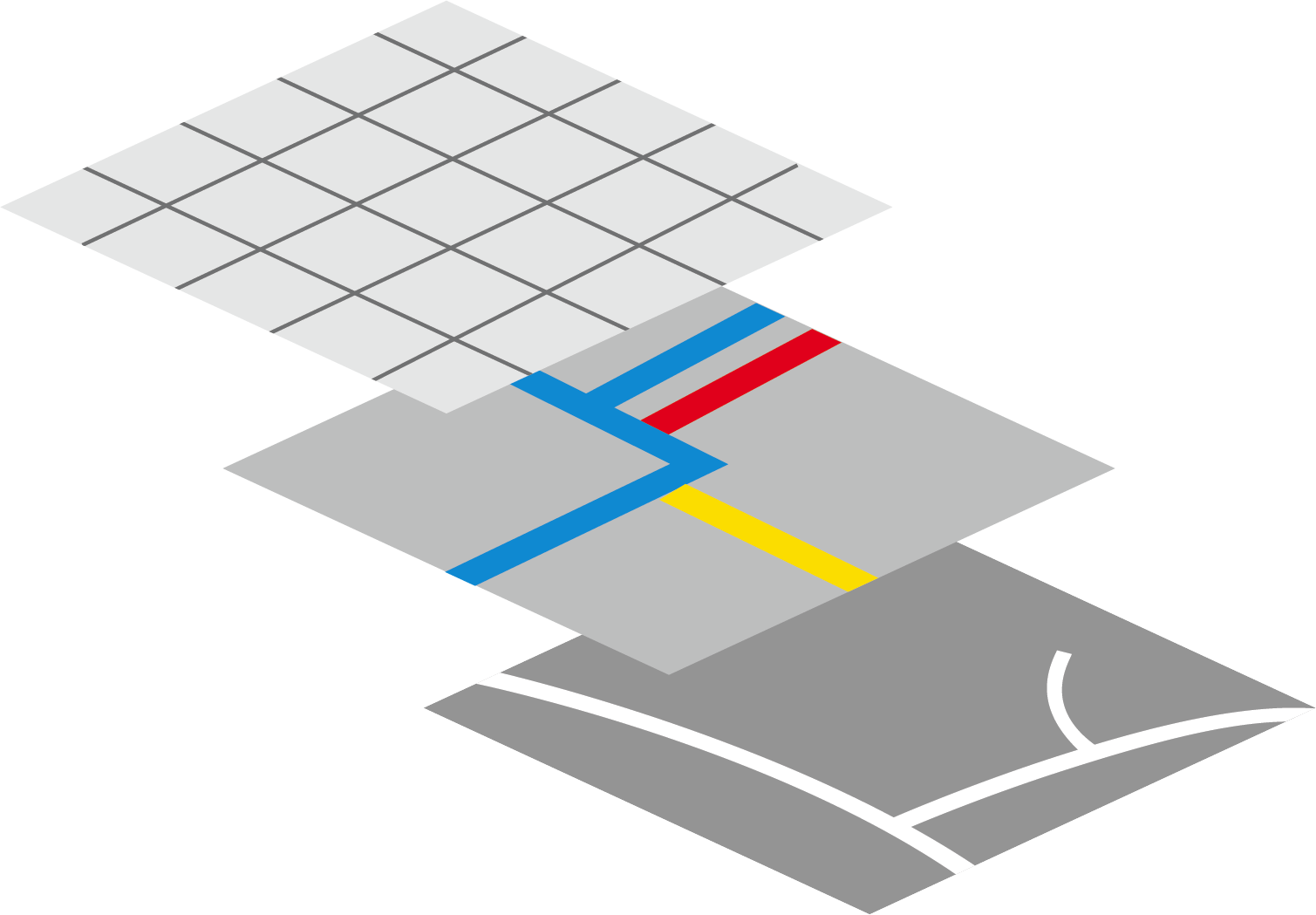
Starting with the latest U.S. Census Bureau TIGER files you can layer on a virtually unlimited number of data overlays, including Google Maps and satellite imagery. Our suite of tools and resources ensures that the excavation area is found and correctly mapped—the first time, every time.

Poly-on-Poly

Avoid unwanted or unnecessary facility operator notices with customizable notification areas that are based on facility needs, not an arbitrary grid. When an excavation polygon is created, any overlap with a facility database polygon results in the transmission of a ticket.

IMap

OCC’s online mapping application gives facility operators complete control in managing their databases. Submit digital data directly to the notification center—then view, add, modify or delete notification area polygons. A multi-tiered access system ensures that all changes are vetted before going into effect.